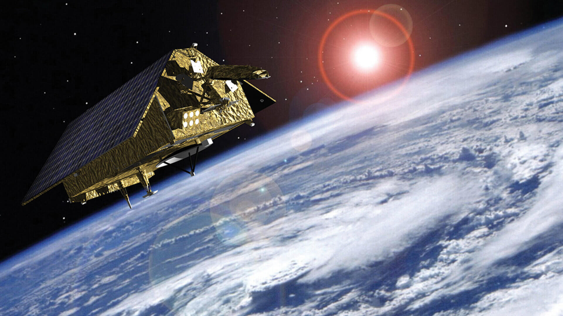
Sentinel-6 satellite will measure its distance to the ocean surface with an accuracy of a few centimetres and use this data to map the topography globally, repeating the cycle every ten days. The measurements made are vital for modelling the oceans and predicting rises in sea levels caused by climate change. The satellite will also collect precise data of atmospheric temperature and humidity that will help improve weather forecasts and climate models.
“InHuld provided the final deliverables to Airbus Defence and Space, bringing our contribution to successful Acceptance Review by our customer. The satellite is now orbiting the Earth at an altitude of 1,300 kilometres”, comments Violeta Tudose, Project manager from Huld.
Previous satellites have also measured the rises of the sea level. However, measuring smaller sea level variations near coastlines, which can affect ship navigation and commercial fishing, has been beyond their capabilities. The satellite will include new technology in the Advanced Microwave Radiometer instrument that, along with the mission’s radar altimeter, will enable researchers to see these smaller, more complicated ocean features.